
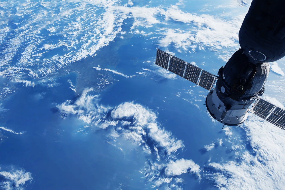
The European Commission and the European Space Agency (ESA) formed a collaboration to address climate-related risks and protect forests through the use of satellite technologies.
Sentinel satellites: forest guardians
The proposal calls for the use of Copernicus Sentinel satellites to monitor forests, which is critical in the face of magnified risks such as illegal logging and wildfires exacerbated by climate change. ESA’s press release underscores the pivotal role of space tech in climate action: “Access to actionable information is fundamental to fight climate change.”
A comprehensive monitoring strategy
Virginijus Sinkevicius, EU Environment Commissioner, emphasizes the need for a comprehensive approach, stating, “We need to see the trends, need to predict better, we need to see how they are responding to climate change.” The current data delays and gaps in member states’ data make effective preparation for climate-related hazards impossible.
Combating wildfires and preserving habitats
Rising temperatures and droughts increase the likelihood of wildfires in the EU, resulting in significant forest destruction. Over two million acres were lost to wildfires last year, a frightening amount that emphasizes the importance of preemptive measures.
Sinkevicius emphasizes the overarching goal: preventing illegal logging and transboundary dangers. Europe’s forests have an important role in carbon sequestration and climatic resilience, as well as in maintaining habitats and species under Natura 2000 protected areas.
While forest protection organizations such as Fern have lauded the law as a good step, there is a request for the law to not only monitor dangers but also push member states to improve forest health. Kurt Vandenberghe of the European Commission underlines the vital importance of space technology in achieving climate goals, emphasizing the European Commission’s commitment to leveraging innovative solutions for climate action.
Space for environmental stewardship
The EU program is a huge step forward in employing space technology to strengthen forests against climate-related threats. By utilizing satellite data for comprehensive monitoring, it aims not only to combat threats but also to steer nations toward resilient, healthy forests in line with climate goals.