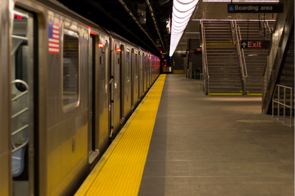
Google Maps launches feature showing which subway cars are least crowded
If you live in New York or Sydney, you will soon be able to use Google Maps to see how busy each transit car is before stepping aboard a train or subway. The new feature is part of a product update announced by Google last week, which will allow users to observe live crowd data on individual Read More...

Google lets you know which businesses offer gender-neutral restrooms
Going to a public bathroom probably doesn’t rank highly as one of your favorite activities. That said, knowing which facilities you can comfortably do your business in is a luxury that most of us take for granted. As we cultivate more awareness and empathy for LGBTQ+ communities, we have come Read More...

Google rolls out new real-time wildfire boundary maps
Having accurate wildfire data during an active blaze can help save lives and inform critical evacuation decisions. Amidst the wildfires ravaging California, Google Maps has launched a new service that provides real time wildfire boundary data. The program was piloted last year in California Read More...

Google Maps unveils new updates to help you travel safely in COVID-19 era
Even though lockdown orders are being eased, we still want to carry on living safely by avoiding close contact with too many people. That’s why Google has rolled out two new features for its Maps app meant to help users get around safely in the time of COVID-19, according to a new post on the Read More...


