At the edge of a Sumatran forest on a clear day last November, a six-rotor drone lifted off and sailed gracefully out over the wilderness in search of flowering trees. The small, robotic aircraft is a member of ConservationDrones’ fleet of unmanned aerial vehicles (UAVs), built not to spy or drop bombs, but to track and catalog natural spaces and monitor the health of forests and other ecosystems.
With a robotic brain that keeps it steady and a GPS unit to track its location, the hexacopter flew a mile in about 15 minutes, logging more than 100 images that are then stitched together to map a 2.5-acre plot. The map helps researchers identify which trees are bearing fruit in remote areas and assess how much food is available for local animal populations.
Surveys are one of the standbys of conservation work—you can’t conserve what you don’t know is there. Historically, ecologists have used walking, roadside or aerial surveys, but all of these methods have unsurprising drawbacks; they’re typically expensive, time intensive or both. As a result, they are performed infrequently—sometimes decades apart, a span of time that can encompass great environmental changes.
Lian Pin Koh, an ecologist and model-plane hobbyist, thinks drones could be an alternative. He co-founded ConservationDrones in 2012 to build inexpensive UAVs and provide them to conservation groups, which use them to help survey landscapes and animal populations. Drones can replace walking and air surveys, and as the software improves, could even find what the researchers are looking for by automatically analyzing video and photos.
ConservationDrones’ UAVs have been used to track animals, as the World Wildlife Fund is doing in the Congo’s Odzala National Park, and to map deforestation in Indonesia, in collaboration with the Sumatran Orangutan Conservation Programme. “We needed to find a new way of monitoring the populations of this great ape species,” says Koh. “Large parts of Southeast Asia are being converted to palm-oil plantations. The conservation researchers and workers on the ground are having a hard time keeping up with this very rapid land-use change.”
The program is using video to compare the topography to satellite images, according to landscape protection specialist Graham Usher. “In degraded landscapes, the video flights can help us identify small forest fragments where wildlife … may be trapped and in need of rescue and relocation,” he says. When the drones are flown in a grid-like system, he adds, orangutan nests are easily identifiable in photographs.
If the goal is to identify animals from the air, elephants are another good place to start. Belgian scientists ran a study, published in February 2013 in PLOS One, that assessed the use of UAVs—in this case, a more expensive Gatewing drone—to count elephant populations in Burkina Faso. The researchers flew the drones high enough to avoid disturbing the animals but low enough to see them on the images and found a sweet spot 328 feet high. Despite limited flight and battery time—drawbacks ConservationDrones echoes—the researchers concluded that unmanned aircraft systems “can truly become an alternative to the use of light aircraft in African wildlife surveys.”
Koh envisions even more widespread use of conservation drones as they become less expensive, including tracking radio-collared animals, collecting data from stationary cameras and even monitoring the sounds of the forest. “In the next five to six years, drones will probably be part of the tool kit of most conservation biologists,” he says. “It will proliferate across the whole conservation community.”
Get more optimistic news become a member or download a free issue.
Photo: conservationdrones.org

Flight of the eco-drones
More of Today's Solutions
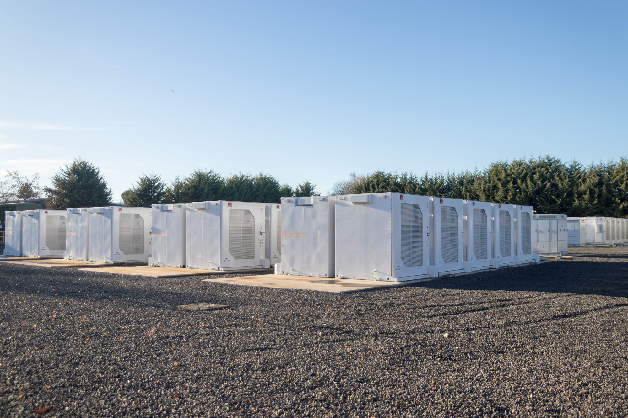
California’s first eight-hour grid battery just came online
BY THE OPTIMIST DAILY EDITORIAL TEAM The California grid has a timing problem. Solar runs from mid-morning through early evening. Demand peaks later. Batteries ...
Read MoreThese four small habits reduce the risk of stroke
Our small daily actions all contribute to our long-term health, especially when it comes to strokes. 80 percent of strokes are preventable, so lifestyle ...
Read MoreAnd the healthiest way to cook broccoli is…
We’ve previously reported on why broccoli is so great. Full of nutrients and antioxidants, it can help invigorate so many parts of our bodies. ...
Read MoreFriendships across income lines boost social mobility, study shows
BY THE OPTIMIST DAILY EDITORIAL TEAM A new study has found that friendships bridging economic divides can meaningfully improve social mobility—and even boost future ...
Read More