Researchers are using satellites to measure Earth’s underground stocks of water in order to predict the state of vegetation and risk of drought in the surveyed areas. Combined with computer modeling, these advanced scientific instruments orbiting our planet can stimulate the cycles of plant growth and water distribution while helping scientists predict declining conditions of grazing areas, crops and forests months in advance.

Satellites orbiting the Earth are helping scientists predict times of drought
More of Today's Solutions
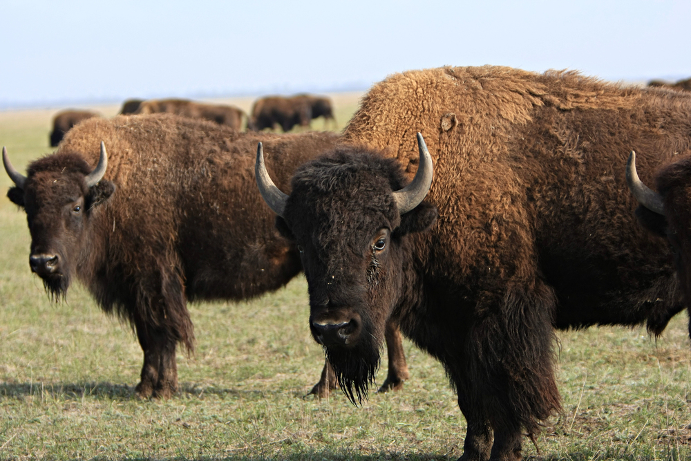
Mexico’s desert ecosystem is healing months after bison reintroduction
BY THE OPTIMIST DAILY EDITORIAL TEAM The 200-year absence of bison from Mexico's Chihuahuan Desert left a gap that most people stopped noticing. Grass ...
Read MoreFrom fire starters to compost: what to do with dryer lint
BY THE OPTIMIST DAILY EDITORIAL TEAM If you clean your dryer's lint trap after every load, you end up with a soft little cloud ...
Read MoreFrom waste to wellness: Making painkillers more sustainable
Paracetamol and ibuprofen, the world's most popular pain relievers, have long relied on ingredients obtained from crude oil in their production. However, as society ...
Read MoreA virtual solution for hoarding: Stanford study harnesses VR to declutter lives
Decluttering one's house can be a daunting and emotionally charged undertaking for anyone, but especially for people suffering from hoarding tendencies. Instead of signing up ...
Read More