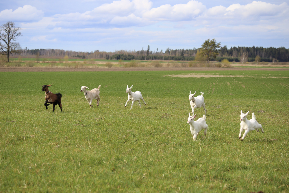
Firefighting goats and The Ojai Valley Fire Safe Council
Surrounded by rugged steep mountains penetrated by hot dry Santa Ana winds, the Ojai Valley is particularly susceptible to wildfire, being in the top one percent of regions in the U.S. and the top three percent in California. The region's limited evacuation routes, vulnerable grid dependency, and Read More...

The Optimist View: Fighting Fire with FireーRethinking wildfires with Indigenous wisdom
“Everything on the earth has a purpose, every disease an herb to cure it, and every person a mission. This is the Indian theory of existence.” - Mourning Dove BY Amelia Buckley As wildfires continue to rage around the Western United States, Greece, Turkey, and more, I reached out to my Read More...

California forest managers are rethinking reforestation patterns to tackle wildfires
When a wildfire tears through a region, the first priority for conservationists is to begin replanting some of the habitat destroyed by the blazes, but in the face of climate change, some forest mangers are rethinking what this planting should look like. In Eldorado National Forest, researchers and Read More...

How controlled burns are bringing back a rare Maryland orchid
The Oxypolis canbyi plant, also known as Canby’s dropwort is an extremely rare orchid which only lives in the Delmarva Bay, part of Maryland’s wetlands. Generations ago, regular wildfires would have swept through this area, clearing out space for the flowers to thrive, but wildfire suppression Read More...

Alaska’s forests are more resistant to climate change than we once thought
In 2004, wildfires burned an area of Alaska the size of Massachusetts. Researchers feared that the CO2 released by the fires would accelerate climate change and that the destroyed boreal forests would no longer serve as the immense carbon sinks they once did. Now, nearly two decades later, Read More...

Google rolls out new real-time wildfire boundary maps
Having accurate wildfire data during an active blaze can help save lives and inform critical evacuation decisions. Amidst the wildfires ravaging California, Google Maps has launched a new service that provides real time wildfire boundary data. The program was piloted last year in California Read More...


