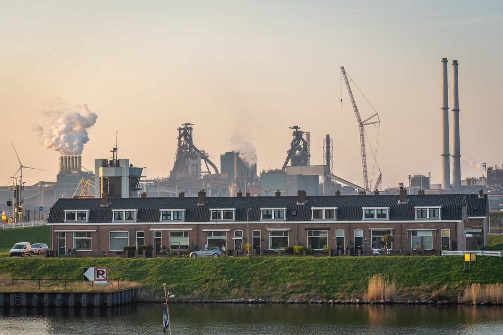
Air pollution is a major hazard to public health in the United States. Pollutants like nitrogen oxide, sulfur dioxide, ground-level ozone, and fine particles are associated with a variety of ailments, including respiratory and cardiovascular issues. Despite significant progress in reducing pollution levels since the passage of the Clean Air Act in 1970, socioeconomic disparities persist, with underprivileged communities and people of color paying a disproportionate share of the burden of air pollution.
TEMPO satellite: The bigger picture
A new satellite instrument dubbed TEMPO (Tropospheric Emissions: Monitoring of Pollution) is poised to revolutionize air pollution monitoring in the United States by addressing the requirement for complete air quality data. The TEMPO satellite, a collaboration between NASA, the National Oceanic and Atmospheric Administration (NOAA), and the Smithsonian Astrophysical Observatory, will deliver near-continuous data on air pollution around the country.
Susan Anenberg, director of the Climate and Health Institute at George Washington University Milken Institute School of Public Health, explains, “This is a satellite that’s going to hover just over the United States and take snapshots of the air over the United States throughout the entire day. It’s a major advance.”
Using data to empower communities
The precise data supplied by the TEMPO satellite has the potential to considerably help communities heavily plagued by air pollution, such as Curtis Bay in Baltimore, Maryland. The coal export terminal and diesel truck traffic are major sources of pollution in this region. According to studies by Johns Hopkins University and the Environmental Integrity Project, Curtis Bay suffers from some of the highest emissions of industrial pollutants, which negatively impacts the health and well-being of the surrounding communities.
For community organizers and activists calling for stronger laws and enforcement, access to granular data is critical. According to Greg Sawtelle, a community organizer with the South Baltimore Community Land Trust, “[Data] is useful in order to substantiate what residents have known for a long, long time.”
The TEMPO satellite provides a precise picture of pollutant distribution and variations throughout the day by providing more detailed information regarding air quality. It can detect pollution hotspots and provide information about the impact of certain pollution sources such as rush hour traffic or passing freight trains.
The Environmental Protection Agency (EPA) recognized the TEMPO satellite’s significance in combatting environmental injustice. While the EPA is not yet compelled to use the new data in its regulatory efforts, it recognizes that the high-frequency and fine geographic resolution of TEMPO could benefit in identifying the sources of pollution that disproportionately affect disadvantaged communities.
Looking ahead to cleaner air
Aside from assisting in the fight against air pollution, the data from the TEMPO satellite can have immediate applications, such as providing real-time information regarding wildfire smoke. The EPA is looking to link satellite data with its existing ground-based air pollution monitors to improve the accuracy and usability of its AirNow website, which is the major source of air quality information.
The main focus, however, is for governments and regulatory organizations to use TEMPO satellite data to protect vulnerable communities efficiently. Susan Anenberg emphasizes that the responsibility lies with officials to take action and address environmental injustice, stating, “We can’t put the responsibility on individuals to take action. This is the responsibility of governments.”
As the TEMPO satellite launches its mission to transform air pollution monitoring in the United States, there is optimism for a future in which complete data guides targeted efforts to reduce pollution, enhance public health, and create cleaner, safer environments for all.