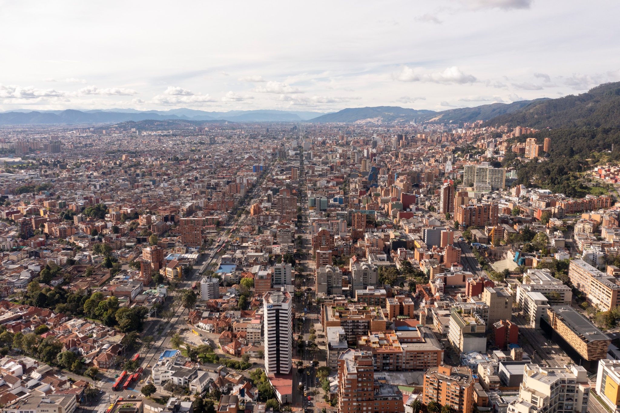
One of the biggest challenges in providing relief to people living in poverty is locating them. The availability of accurate and reliable information on the location of impoverished zones is surprisingly lacking for much of the world. Stanford researchers have found a way to use satellite technology to accurately identify poverty in areas previously void of valuable survey information. The solution involves a sophisticated combination of “nightlight” data—areas that are brighter at night are usually more developed—and daytime data like visible roads, urban areas and farmland. The researchers found that this method did a surprisingly good job predicting the distribution of poverty, outperforming existing approaches.

Locating and fighting poverty with satellite data
More of Today's Solutions
EU launches action plan to tackle cyberbullying and protect children’s mental...
BY THE OPTIMIST DAILY EDITORIAL TEAM As young people spend more of their lives online, the risks they face have become harder to ignore. ...
Read MoreBefore you buy: 6 smart questions to avoid impulse spending
BY THE OPTIMIST DAILY EDITORIAL TEAM We have all heard the advice: buy what you need, not what you want. In theory, it is ...
Read MoreRevumenib: the breakthrough pill curing leukemia in a third of patients
Patients with terminal leukemia who were not responding to treatment now have hope for a cure thanks to revumenib, a new experimental medication. In ...
Read MoreWhat is “weaponized kindness” and how can you protect your relationship from it?
In the delicate dance of love, kindness often serves as the melody that orchestrates harmony between couples. From modest gestures like morning coffees to ...
Read More


