BY THE OPTIMIST DAILY EDITORIAL TEAM
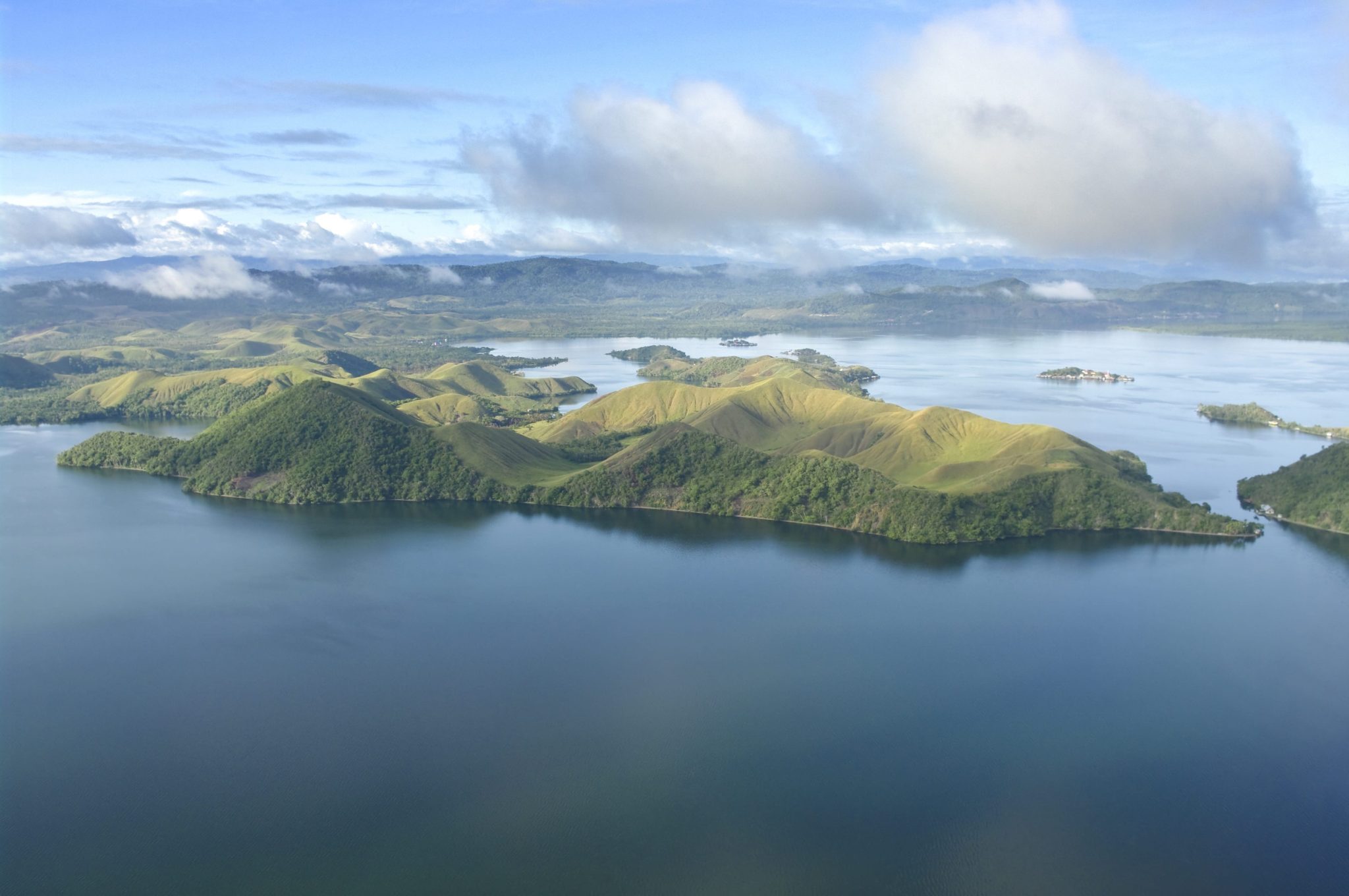
Papua New Guinea announced on May 13 that it will protect roughly 214,000 square kilometers (about 82,600 square miles) of the Bismarck Sea from all fishing and extractive activity, an area approaching the size of the United Kingdom. The Western Manus Marine Protected Area would be the largest no-take sanctuary in Melanesia. What makes it unusual is where the boundaries fall: the zone covers 6.7 percent of PNG’s industrial fishing grounds and 10 percent of its industrial tuna fishing area. Scientists argue this will make the surrounding fishery more productive, not less.
The mechanism is spillover. When a no-take zone reaches sufficient density of marine life, fish and larvae move outward into adjacent waters where fishing is permitted. Research across large-scale marine protected areas in the Pacific and Indian Oceans shows that tuna catch rates increase by an average of 12 to 18 percent near MPA boundaries. The Western Manus sanctuary is designed to generate exactly that effect for PNG’s coastal and commercial fisheries.
A marine highway, not just a boundary line
The MPA’s boundaries were shaped in part by tracking individual gray reef sharks. Endangered and already showing signs of pressure from overfishing, the sharks were tagged and followed as they moved between shallow reef ecosystems and deep-sea habitats in search of food. Their routes traced the region’s underwater geography: a system of mountains, ridges, and canyons that channels nutrient-rich water from depth to surface and back again.
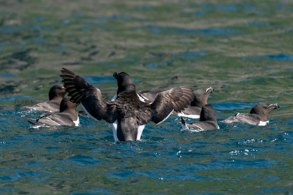
Scientists describe this structure as a “marine highway.” The same geological features that concentrate nutrients also concentrate the species that depend on them. Spinner and bottlenose dolphins, short-finned pilot whales, deep-diving Cuvier’s beaked whales, scalloped hammerhead and silky sharks, and killer whales that return to the area each year all move through the corridor. Seabirds, including black noddies, white terns, red-footed boobies, and Siberian sand-plovers, forage up to 200 nautical miles (about 230 miles) from their nesting sites across the same waters. The MPA boundaries were drawn to account for the full range of these movements, not just shark habitat.
What the 2024 survey found
A three-month National Geographic Pristine Seas expedition in 2024, conducted in partnership with PNG’s Conservation and Environment Protection Authority and the Wildlife Conservation Society, provided the ecological baseline for the designation. The results were not uniformly encouraging.
Coral reefs in the Western Islands ranked among the healthiest recorded in the Pacific, with schools of wahoo, rainbow runners and jacks. Shark numbers, however, were low, a well-established indicator of overfishing in reef systems. Deep-sea surveys documented species never before recorded in PNG, including the yokozuna slickhead, a large fish found at extreme depths. The volume of undescribed biodiversity reinforced the case for protection before further extraction pressure could occur.
Surveys logged more than 700 reef fish taxa and over 300 species of hard corals. PNG sits within the Coral Triangle, the expanse of ocean between the Pacific and Indian Oceans recognized as the global center of marine biodiversity.
Pacific nations build momentum toward ocean 30×30
The announcement came on the fourth day of the first-ever Melanesian Ocean Summit in Port Moresby, a gathering of more than 500 delegates from PNG, Fiji, Solomon Islands, New Caledonia, and Vanuatu. The five nations have collectively emerged as regional leaders in the global 30×30 campaign, which aims to place 30 percent of the world’s oceans under protection by 2030. The Western Manus MPA would account for approximately nine percent of PNG’s exclusive economic zone and would anchor the Melanesian Ocean Corridor of Reserves (MOCOR), a network of national and joint-boundary protected areas spanning the region.
Following the summit announcement, PNG’s government will begin the national process for legal designation.
“This is not just a beautiful place, it’s a highly connected system, where shallow reefs, deep-sea habitats and open ocean waters are linked, supporting species that move across them,” said Lindsay Young, vice president of research at Pristine Seas. “The new MPA comes at a critical juncture to protect these connections and ensure the long-term health of the ocean and the communities that depend on it.”
Did this solution stand out? Share it with a friend or support our mission by becoming an Emissary.